A Short Update On Dorian: Tropical Wave?
Dorian is not doing well today. A recent satellite pass that tells us about winds at the surface showed that Dorian is a very sharp tropical wave rather than a tropical storm, likely with winds still stronger than 40 mph. The latest models and water vapor imagery continue to show very dry air ahead of Dorian, which should be a lingering issue for a number of days. The weakening trend should continue in the short-term. Do not change your preparations in the Leeward Islands as this storm may begin strengthening as it gets closer to the islands.
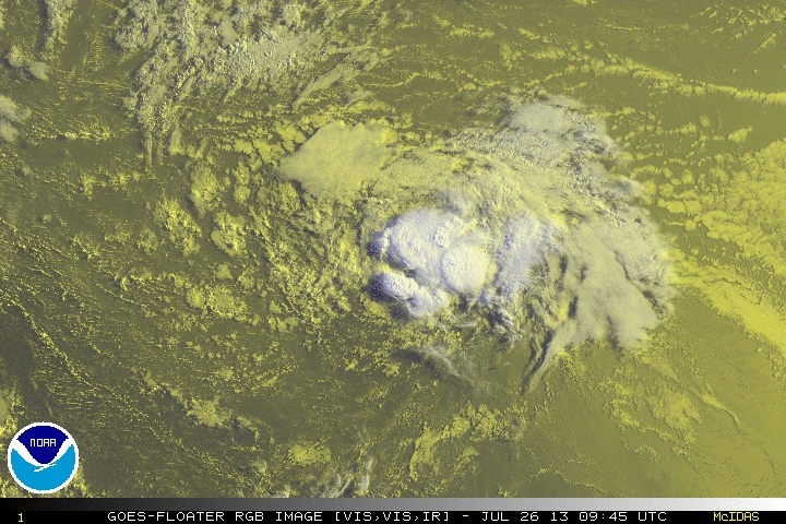
Below are the ASCAT passes which show that Dorian is now a very sharp wave, and the most recent satellite imagery: 
Note on the satellite image below that there are curved bands being removed from the center at the low levels in yellow. That is from the collapse of a thunderstorm earlier today, and suggests weakening. These bands are called outflow boundaries, and they often weaken tropical systems for 3-6 hours or more. This may or may not happen here, but I do believe a weakening trend continues.
For more frequent updates, follow me on twitter @JonathanBelles for updates 24/7! You can ask questions below or on twitter.
Share this!

Posted on Friday, July 26th, 2013, in Tropical Weather. Bookmark the permalink. Leave a comment.

Leave a comment
Comments 0